
Trace a Fitchburg Street Directory
A street search starts with a location, not a list of names. The City of Fitchburg assessor and GIS tools tie an address to a parcel and assessed owner. The Worcester Registry then ties the parcel or owner to a recorded instrument. Massachusetts voter status can only confirm a single person who supplies the required information, while a printed street guide may place a historic householder at a number. Each result has a different date and purpose. Keeping those roles separate avoids treating a tax-mailing field or an old directory entry as proof of a current household.
- Enter the street address in Fitchburg AxisGIS and record the parcel, situs address, owner field, and any listed mailing address.
- Open the property report and map view, then compare the parcel geometry and adjacent lots before making a street-by-street note.
- Use the owner name, legal description, plan reference, or parcel clues in the Worcester Registry of Deeds to locate the purchase deed and earlier transfer.
- For a specific person, use Massachusetts My Voter Registration Status only with that individual’s first name, last name, date of birth, and residential ZIP.
- For an earlier household, check a Fitchburg street or numerical guide and preserve the number, abbreviation, date, and named householder exactly as printed.
The chain is address to AxisGIS, property and deed, individual voter confirmation, then a historic street guide. It can document ownership and dated public traces. It cannot create a complete current roster for a street.
Fitchburg Street Search in AxisGIS
Fitchburg’s assessor resources direct property users to AxisGIS, assessor maps, exemption material, and historic tax-rate information. AxisGIS labels its current parcel data 2025. It supports owner-name, address or street-name, and map-lot searching, then lets a reader identify a parcel from the map. Search a whole street first when the aim is to understand its run of parcels. Search a house number when the aim is one property. The map and its layers are informational and planning tools, not a legal survey.
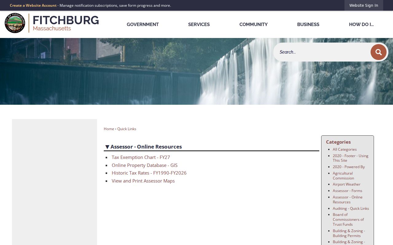
The assessor resource screen is the practical entry point for a Fitchburg street directory search because it points from the city’s tax and map resources to the parcel viewer used for the address chain.
| AxisGIS field or tool | Input | Street-search use |
|---|---|---|
| Owner Name | Text, optional | Find a current assessed owner with exact or variant spelling. |
| Address/Street Name | Text or autocomplete, optional | Browse a street or locate a house number after confirming the town. |
| Map/Lot/Parcel | Text, optional | Use Fitchburg’s displayed XX-XX-X parcel format. |
| Map click/Identify | Map control | Select a parcel and open its property report. |
| Abutters | Report tool | Run the configured 100-foot report for nearby parcel context. |
| Layers | Menu or checkbox | Compare parcels with zoning, flood, historic, Census, and state layers. |
| Print/Export | Control | Create the configured parcel or abutter PDF and Excel outputs. |
Map lines, building footprints, zoning, flood information, wetlands, contours, watershed, open space, Census, historic inventory, and municipal-boundary layers all answer different questions. A dashed parcel can still have a valid owner, so a questionable result should be confirmed with the assessor. For certified assessment detail, the research identifies the Fitchburg Assessor at 978-829-1860.
Fitchburg Street Records: Situs and Mail
The two address fields on a property record should never be collapsed into one claim. A situs address is the physical place of the land or building. A mailing address is where the assessor sends tax correspondence. The latter may identify an owner’s other address, a trust, a corporation, or an estate. It can be a useful contact clue for ownership research, but it does not establish that the owner occupies the Fitchburg address. Likewise, an exemption or homestead indicator deserves corroboration rather than a conclusion.
- Parcel
- An assessor-mapped unit of land, identified in Fitchburg with the configured map-lot format.
- Situs address
- The physical location of the parcel or building, used to place land on a Fitchburg street.
- Mailing address
- The tax-notice destination for an owner or representative. It may be outside Fitchburg.
- Plat or plan
- A recorded drawing or reference that describes lot geometry and can be stronger than a changing street number.
- Criss-cross directory
- A reverse street guide arranged by address or number rather than only by surname.
Use the parcel ID, current street number, recorded legal description or plan, and historic street reference together. A lot can be split or combined, and older sources may use an intersection, an owner, or a different number. That is why the legal description and plan often carry the continuity that an address search lacks.
Fitchburg Street Deeds by Parcel
The Worcester Registry of Deeds is the next stop after AxisGIS. Its Recorded Land menu provides name, document, book, property, recorded-date, and unindexed-property searches, plus separate pre-1960 grantor and grantee indexes. Start with a property search when it returns the parcel, or search the assessed owner as grantee and limit the town to Fitchburg. The purchase deed can supply the recording date, parties and roles, document or book and page, consideration when shown, legal description, plan or lot references, easements, and a reference to an earlier instrument.
For the backward chain, search the seller from that deed as a grantee for the seller’s own acquisition. Repeat with the legal description and plan in view. This approach is stronger than matching only a street number because deeds can omit the modern address. The Registry allows search, view, print, and download without a charge at inspection. Its landing page does not give an exact earliest online year, so do not invent one. When a trail reaches an older instrument, use the separate pre-1960 indexes, unindexed-property search, Registry counter, microfilm, or Registry staff.
The Registry’s recorded-land search shows the menu that supports this Fitchburg street directory deed step, including the distinct historic index paths.
That search interface links a street investigation to recorded parties and instruments, while the image and legal description remain the evidence to inspect before drawing conclusions about a parcel.
Fitchburg Street Record Coverage
Address-keyed sources overlap, but none replaces the others. The assessor supplies the present parcel frame. Registry documents supply the legal transfer trail. Permits help date a project. A municipal street listing or historical guide may show local presence at a particular time. The individual voter portal does not offer a street browse. This coverage table keeps the record type, keeper, and limit visible before a street search expands into assumptions.
| Fitchburg street record | Custodian | Useful fields | Access and limit |
|---|---|---|---|
| Assessor and AxisGIS | Fitchburg Assessors | Owner, situs, mailing, values, sales, building data, exemptions, map-lot | Free public viewer, labeled 2025; informational data. |
| Parcel map and abutters | AxisGIS/MassGIS | Geometry, nearby parcels, layers, 100-foot report | Free map and report; not a legal survey. |
| Recorded deeds and plans | Worcester Registry | Parties, type, date, book/page, legal description, image | Free inspection; pre-1960 paths are separate. |
| Permit history | Building & Zoning/OpenGov/ViewPermit | Address, map-lot, owner, project, permit party | Current online tools; older material by targeted request. |
| State voter status | Massachusetts Secretary of the Commonwealth | Submitted individual’s status, polling place, representatives | Individual-only, not a street roster. |
| City census or street list | Fitchburg City Clerk | Municipal household or street-list material as held | Request channel, not a public household web directory. |
| Street or numerical guide | State Library, library, Historical Society | Number, householder, occupation, address | Historic coverage has gaps and abbreviations. |
When an offline item is needed, submit a focused request to the city’s Records Access Officer with the address, date range, record type, and preferred electronic format. Fitchburg documents requests in person, by hand, mail, or email. Massachusetts Public Records Law, M.G.L. c. 66, § 10, and 950 CMR 32.00 govern city public-record access, while court files follow their own clerk rules.
Fitchburg Street Permit Trail
Permits are useful for dates and named project parties. The city’s ViewPermit instructions list searches by address, map-lot, permit number, licensee, contractor, owner, and project. Current building, plumbing, and gas permits use OpenGov as the preferred route, with paper applications still accepted. Older permit and code files belong with Building & Zoning or Community Development. A request should name the address and date range because the research did not establish a complete historic online cutoff.
Fitchburg’s e-permitting resources show the current OpenGov and permit-status routes used alongside the older ViewPermit search instructions.
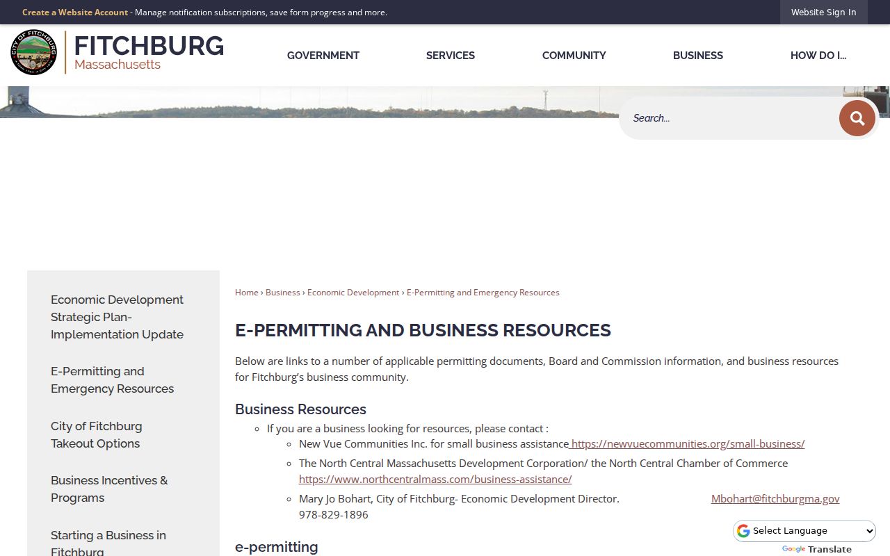
A permit can support a construction or change date and identify an applicant, owner, or contractor. It does not identify every person who lived at the address.
Note: Match a permit date with a recorded deed, map evidence, and a dated directory entry before treating it as an address-history milestone.
Fitchburg Street Guides and Directories
Historic reverse lookup work uses the numerical or street portion of a directory rather than a current parcel screen. The State Library’s documented Fitchburg holdings include 1848, 1871-72, 1876-85, 1887-1944, and 1967, with selected suburban directory years listed separately. Copy the printed street number, householder or occupant, spouse or occupation notation, and abbreviations. A directory can name only a household head or a business. It is a dated historical observation, not evidence that an earlier name still belongs at that address.
Fitchburg Public Library keeps Sentinel and Sentinel & Enterprise microfilm available from 1839 to the present during open hours, even while its local-history collection is in storage during the Wallace Library renovation. Reference staff can handle factual help and exact-citation copy requests by phone, fax, email, or mail; deeper local-history work may be referred to the Fitchburg Historical Society. The collection years and research methods are developed more fully in the Fitchburg city directory material.
Fitchburg Streets, Mills, and Boundaries
Fitchburg’s river, rail, mill, and hill geography explains why address research benefits from maps. The city identifies downtown, Water Street, the Mechanic Street Finnish neighborhood, West Fitchburg, and Cleghorn as historically distinct areas. Old maps, street guides, and Sanborn sheets help when a present number does not align with a nineteenth-century address. The city began as a separate town in 1764 and became a city in 1872, so older material can also reflect different municipal and development patterns.
MassGIS Municipal Mapper provides the state mapping context for parcels and municipal lines used in a Fitchburg street directory search.
The state map context helps distinguish a street location from a ward, ZIP, or neighboring municipality. It does not replace a recorded plan or the assessor’s parcel confirmation.
The MassGIS municipal-boundary record notes that a Fitchburg-Leominster stretch along Crawford Street was updated in September 2019 using a scanned 1964 Fitchburg DPW survey plan. That local correction is a reason to resolve a border address with the plan and municipal layer instead of relying on a generic street label.
Fitchburg Street Voter Confirmation
Massachusetts My Voter Registration Status is not a surname browse for a street. The form requires first name, last name, month, day, year of birth, a five-digit residential ZIP, and an agreement checkbox. A match returns whether that submitted individual is registered or pre-registered, active or inactive, plus polling location and state and federal representatives. M.G.L. c. 51, § 64 limits the portal to the person’s submitted information and those outputs.
For an election record not online, Fitchburg City Clerk/Elections is at 718 Main Street and the research lists 978-829-1820, Monday through Friday, 8:30 to 4:30. A written request for a local voter file or street list should specify the date range, fields, ward or precinct, format, and purpose, then ask for the current fee estimate, redactions, and use terms. The research did not locate a current Fitchburg bulk-file form, fee, or delivery format. Ballot choices are secret.
Limits of a Fitchburg Street Directory
Public address records leave real gaps. A current household member may not appear in an assessor record or old directory. Utility and postal-delivery data are not public address lists, and motor-vehicle personal information is restricted by the Driver’s Privacy Protection Act. Address Confidentiality Program participants, protected voters, sealed court material, adoption records, juvenile material, and impounded files require special protection. A tax mailing address is not a situs or residence finding, and a historical street guide cannot establish a current occupant.
Fitchburg’s record story also has practical limits: the Registry publishes separate pre-1960 indexes rather than a stated online cutoff, and its historic street materials have selective year runs. If an address cannot be reconciled, retain the plan, legal description, old street-name variant, and source date, then ask the actual custodian for the next lawful record channel.